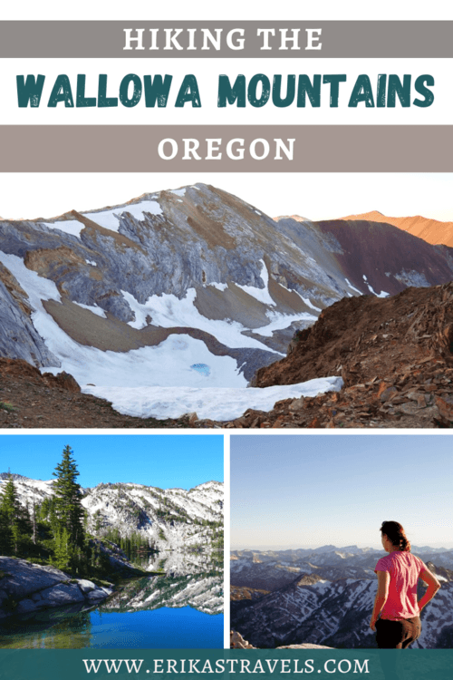
Hiking the Wallowas: Guide to Oregon’s Eagle Cap Wilderness
The Wallowa Mountains are one of the Pacific Northwest‘s most impressive geological features. Their snowcapped peaks adorn the pristine Eagle Cap Wilderness and tower over the bucolic farmlands and chiseled canyons of northeast Oregon.
And yet, unlike many of Oregon’s other natural highlights, they remain largely undiscovered.
The scenic splendor of the Wallowas is particularly surprising considering that I—a native Oregonian and lover of the Pacific Northwest—hand’t even heard of them until a few years ago.
Prior to my visit, I believed that the northeastern corner of Oregon was a featureless and barren swath of land with little to see and even less to do.
But oh, how wrong I was.
THE EAGLE CAP WILDERNESS
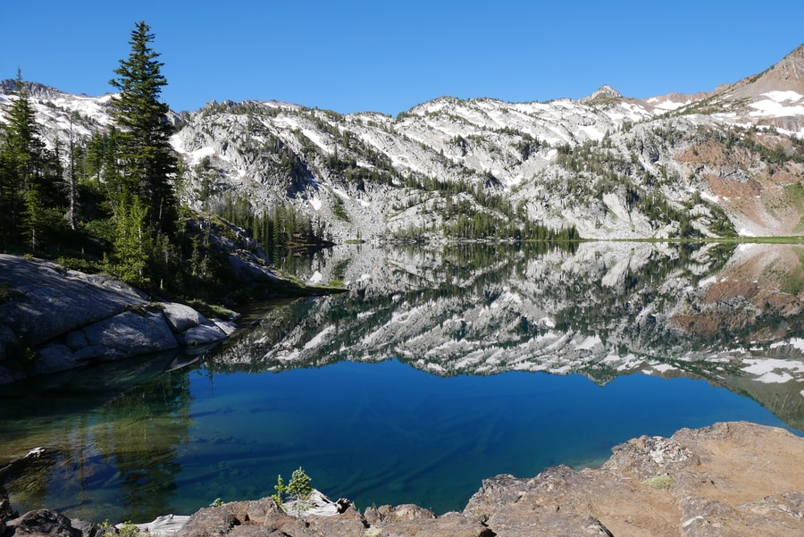
The Eagle Cap Wilderness in northeast Oregon is a mountainous wonderland of alpine lakes, soaring granite peaks, wildflower-strewn meadows, and little-known hiking trails. It is stunning, dramatic, far-flung, and relatively obscure.
The dazzling 360,000 acre wilderness area—the largest in Oregon—fans out across one of the most underrated parts of the state. It conceals mile upon mile of backcountry hiking trails that lead to stunning views of marble peaks and glacier-ripped valleys. These granite mountains have been nicknamed the ‘Oregon Alps,’ or ‘America’s Little Switzerland.’
And while comparing these peaks to the Swiss Alps may be a little bit of a stretch, there is no denying their beauty.

The Eagle Cap Wilderness lies more than three hours from the nearest airport, in an area of Oregon that is often associated with tiny towns and desolate landscapes. Despite being one of the top places to visit in Oregon, it is an off the beaten path destination that flies largely under the radar. Oregon-bound travelers are far more likely to visit the state’s other scenic wonders—like the Oregon Coast, the Columbia River Gorge, or the Central Oregon Cascades.
As with the immense Steens Mountain Wilderness in southeast Oregon, the northeastern corner of the state receives only a handful of yearly visitors.
But that is a large part of what makes the the area so special.
JOSEPH OREGON: GATEWAY TO THE WALLOWAS
Joseph is a quaint small town that sits in the shadow of Oregon’s Wallowa Mountains. Its ideal location makes it a popular place for tourists to refuel and grab some food before heading out into the Eagle Caps.
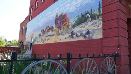
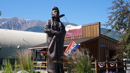
Travelers who are looking for an alternative to outdoor pursuits, will find that Joseph’s picturesque main street offers a plethora of eateries and shopping opportunities. The town is full of boutiques, galleries and bronze statues commemorating the area’s history and geography.
We especially enjoyed the tasty food and outdoor seating area at the Old Town Cafe on Main Street.
Joseph Oregon was named after Chief Joseph—the legendary chief who led the Nez Perce through one of the darkest periods in Native American history.
Chief Joseph’s grave can be found just outside of town, near the northern tip of Lake Wallowa.
LAKE WALLOWA STATE PARK
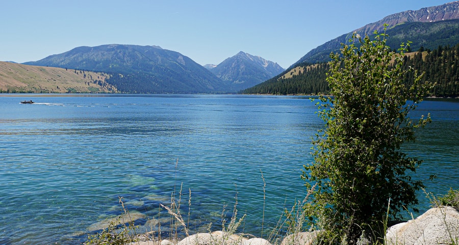
The piercing blue waters of Lake Wallowa attract swimmers, jet-skiers, and fishing enthusiasts. The crescent-shaped lake lies at the foot of the Eagle Cap Wilderness, only six miles away from Joseph’s picturesque main street.
Dramatic mountain peaks—including the 9.000+ ft Chief Joseph Mountain—loom over the blue-green waters of the lake. It is one of the clearest and most pristine bodies of water in Oregon.
During the first night of our Oregon getaway, Dan and I camped near the water’s edge at Wallowa Lake State Park.
The state park is a popular vacation destination and one of the only reservable camping areas in northeast Oregon. The campsite has full RV hookups, bathrooms, a boat launch, and a play area for kids. The state park—situated on the lakeshore near the Howard Mountain tramway—is a gateway to the backcountry and a convenient place to catch up on sleep before undertaking a journey into the Eagle Cap Wilderness.
For day hikers who aren’t keen on camping, a host of lodging options can be found near the state park, at the south end of Wallowa Lake.
HIKING IN THE EAGLE CAP WILDERNESS
Home to 17 peaks that eclipse 9,000 ft, the Wallowa Mountains offer Oregon’s best backpacking experience. The trailhead near Wallowa Lake State Park is a principal gateway into the sprawling Eagle Cap Wilderness.
A handful of hikes depart from the trailhead near Wallowa Lake. Each provides access to alpine wonders, jewel-like lakes, and granite mountainsides.
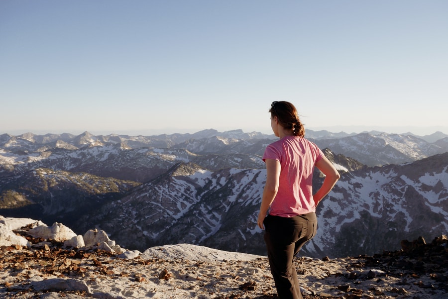
Most hikes in the Wallowas are long and relatively strenuous. Popular routes include the 13 mile Aneroid Lake Trail, the 16 mile Ice Lake Trail, and the 24 mile Wallowa River Loop.
All Trails is a fantastic resource that can help you find the perfect hiking trail in the Wallowas.
ICE LAKE HIKE
The area’s abundance of glacial lakes, waterfalls, and wildflower-laced meadows can easily keep hikers entertained for weeks. And, if we’d had more than just two days to explore the Eagle Cap Wilderness, I’d have loved to visit them all.
Unfortunately, our limited weekend getaway forced us to choose between many of the available overnight hikes in the area.
After much deliberation, we selected the stunning 16 mile trek to Ice Lake.
The route to Ice Lake follows the West Fork Path, along Adam Creek. The first part of the trail is popular with horses as well as hikers (so beware of the fresh horse apples lying about).
After a few miles, the path branches off from the Wallowa River Trail and crosses the river over a log bridge.
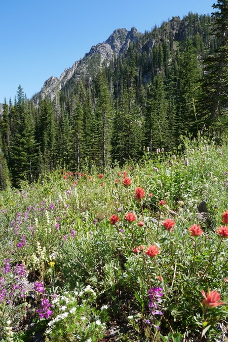
From the bridge, the trail begins its relentless ascent to Ice Lake. As it climbs in elevation, the trail gives way to jaw-dropping panoramas. It follows the powerful river through tall stands of fir trees and past wildflower-speckled meadows.
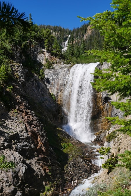
At around mile 5, Beauty Falls thunders into the canyon. Ice Falls hovers above it at a distance.
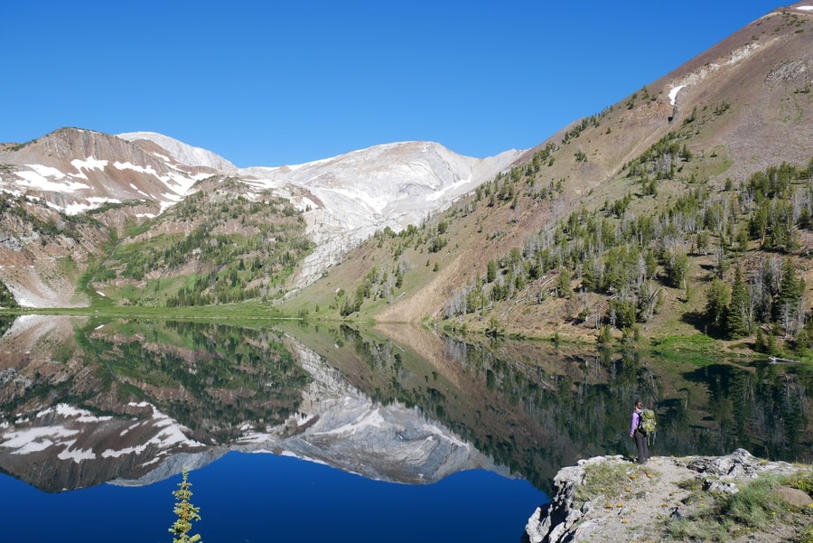
Ice Lake is one of the most outstanding locations in the Eagle Cap Wilderness. The lake lies just under 8 miles from the Wallowa Lake Trailhead. Its mirror-like waters are a welcome reward after an unrelenting uphill climb.
While some choose to undertake the strenuous 16 mile round-trip hike in one day, spending the night near Ice Lake allows for greater exploration of the breathtaking area.
From Ice Lake’s northwestern end, a loosely-defined trail leads to the Matterhorn and Sacajawea summits.
MATTERHORN SCRAMBLE
Ice Lake’s high elevation and close access to the Matterhorn and Sacajawea, make it a perfect base camp for climbing the Wallowas’ two highest peaks. The two mountains afford unparalleled views of the Eagle Caps and Ice Lake from above.
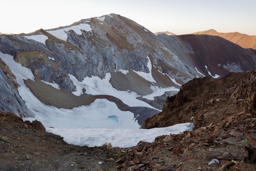
The Matterhorn trail begins from Ice Lake’s shoreline. It crosses a tumbling creek and heads straight uphill for nearly 2,000 ft. On the unrelenting uphill climb, we encountered patches of snow, fields of loose scree, and swarms of mosquitos. As I made my way up the Matterhorn, I could feel that the altitude was slowing down my ascent and making it harder to breathe.
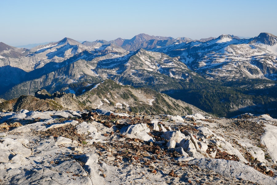
As the trail nears the Matternorn summit, it becomes loosely defined and difficult to follow. I trudged slowly upward and relied heavily on my poles—stopping every few minutes to catch my breath and gaze out at the swirling white marble of the basins below.
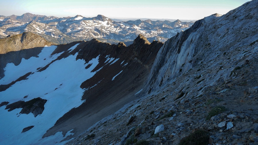
After hiking to Ice Lake with our packs, the additional 1.5 mile climb to the Matterhorn summit nearly did me in. Hiking to the top of the Matterhorn was the most strenuous trek I’d undertaken since completing the 21 mile roundtrip slog up and down Panorama Ridge a few years prior. The high altitude tested my endurance, while the loose scree at the mountain’s summit nearly left me paralyzed. Along the entire scramble, clouds of mosquitos swarmed around my face and nested in my hair. It was a grueling, uncomfortable, and slightly precarious hike.
But were the views worth the effort?
Yes. A thousand times over.

From the top of the Matterhorn, the Wallowa Mountains spread out in a spellbinding expanse of snow-clad peaks, tear-drop lakes, and U-shaped basins.
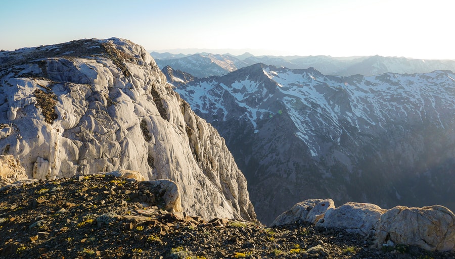
As we sat nearly 10,000 ft in the air—swallowed by the impenetrable silence around us—Dan and I relished the feeling of looking out across the sea of craggy mountains, without another soul in sight.
WALLOWA LAKE TRAMWAY
The Wallowa Tramway travels from Wallowa Lake State Park to the top of Howard Mountain. It provides the easiest access the Eagle Cap Wilderness and is a perfect option for nature-lovers who wish to avoid the area’s long-distance treks. At the top of Howard Mountain, scenic pathways showcase the area’s peaks and reveal views of Wallowa Lake from above.
A small restaurant on Howard Mountain serves food and drinks. Sitting at more than 8,000 ft above sea level, the restaurant has the distinction of being the Pacific Northwest’s highest eatery.
The roundtrip gondola ride up Howard Mountain costs $36 per person.
Due to its steep price and our desire to explore the area on foot, Dan and I decided to skip the attraction.
However, I’m told that the panoramas from the top of Howard Mountain make the pricy journey more than worthwhile.
CAMPING IN THE WALLOWAS
Though still relatively undiscovered, the Wallowas are an increasingly popular summer camping destination.
For families, day hikers and RVers, the established campsite at Wallowa Lake State Park is an excellent home base. Be aware, however, that spaces fill up quickly on summer weekends.
Outside of the park, the only camping options are in the backcountry or at some of the rustic forest service campsites scattered around the Wallowa-Whitman Forest.
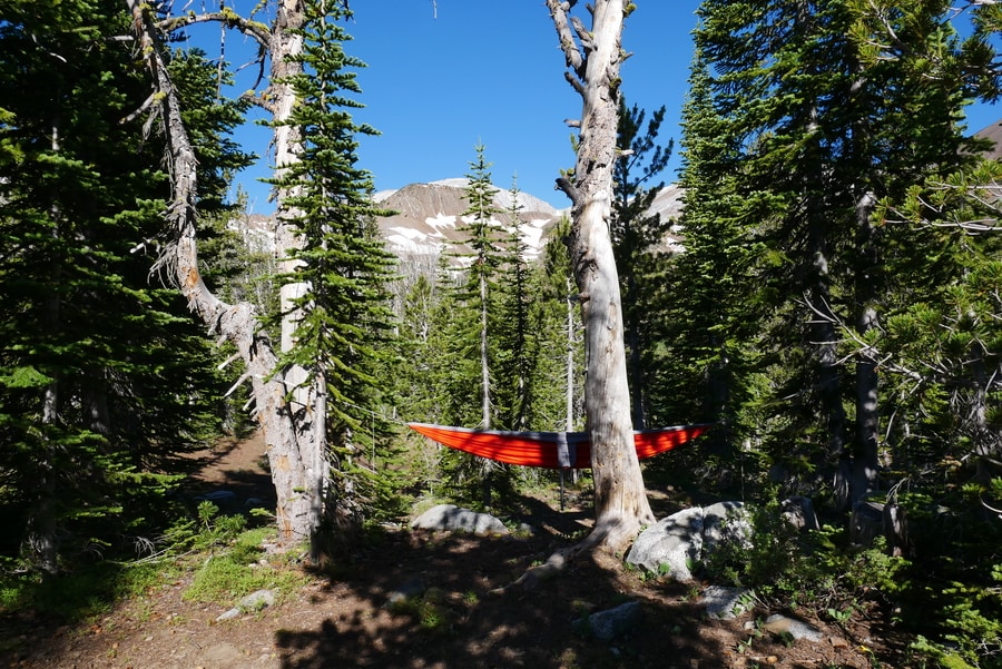
Backcountry camping is one of the best ways to explore the Eagle Cap Wilderness. You can pick up and fill out a free backcountry permit at the Wallowa Lake Trailhead.
****
The Eagle Cap Wilderness is wild, rugged, and pristine. It is a true Oregon gem that few take the time to visit.
When I look back on my experience hiking in the Wallowas, It is easy to forget about the mosquitos, the weight of my heavy pack, and the paralysis I felt as I neared the Matterhorn’s summit.
Instead, my memories are filled with the scent of alpine wildflowers, the sound of waterfalls tumbling over rocks, and the breathtaking mountain views that extend outward, as far as the eye can see.
_____________________________
Did You Enjoy this Guide to Backpacking the Wallowas in Northeastern Oregon? Pin It!
