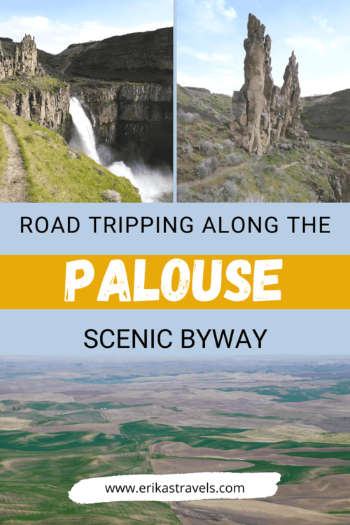
The Palouse Scenic Byway in Eastern Washington
The Palouse is a fertile patchwork of undulating hills, located primarily in the eastern reaches of Washington State. Speckled with picturesque barns and sheep-studded pastures, the Palouse represents a nostalgic depiction of rural American life.
Yet, despite its seductive charm, this large swath of Washington farmland doesn’t get much love. It is often regarded as flyover country—overlooked in favor of the mountains, ocean, and forests that define the state’s western half.
In part because of its relative unknown, and in part because we wanted the opportunity to visit Palouse Falls State Park, Dan and I made the trek to Eastern Washington to discover one of the state’s most geologically-significant and under-appreciated gems.
THE PALOUSE OF EASTERN WASHINGTON
The Palouse is a distinct geographic region of the Pacific Northwest. It’s wheat-covered hills look like rippling sand dunes that have been draped in a velvety blanket of greens and browns. Their particular geologic appearance is attributed primarily to loess sediments—blown into the area by heavy winds—that have accumulated into wavy dune-like formations.
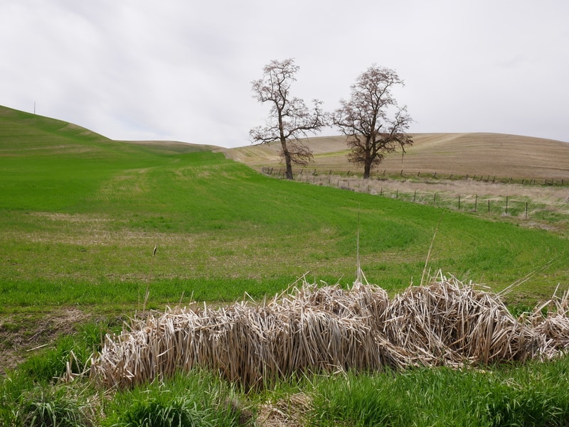
The Palouse encompasses parts of southeastern Washington, western Idaho, and (by some accounts) the area near northeastern Oregon’s Wallowa Mountains.
However, the majority of the region falls in Washington State, between Spokane and Moscow, Idaho.
PALOUSE SCENIC BYWAY ROAD TRIP
Dan and I began our Eastern Washington road trip in Spokane and scheduled our return flight from the Tri Cities airport for the following day.
For the majority of our journey, we followed the Palouse Scenic Byway past some of Eastern Washington’s most seductive landscapes.
Our Palouse road trip took us on Highway 195 south to Colfax, before continuing on State Route 26. It wove through small rural towns—past the channeled scablands—to Palouse Falls State Park. Along the way, we stopped at Steptoe Butte for aerial views of the Palouse’s unique patchwork hills.
-
STEPTOE BUTTE STATE PARK
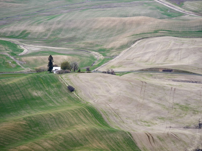
Steptoe Butte State Park is the best place to see the Palouse’s undulating farmlands from above. From its 3,612 foot summit, the butte offers unparalleled views of the region. The soft tapestry of hills extends outward as far as the eye can see, interrupted only by occasional barns and grain silos.
Seen from the top of Steptoe Butte, the Palouse Hills look like a giant, rippling quilt. Their colors seem to shift and change in the light—in interlaced patterns that range from mauve to green to brown to tan.
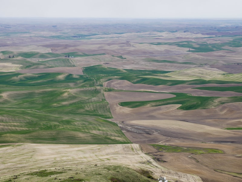
In the hours before dusk and after dawn, the sun’s low angle casts shadows over the undulating hills. These shadows accentuate the landscape’s gentle curves and give texture to its form. They create ideal conditions for photographing the Palouse.
We drove to the top of Steptoe Butte on an overcast day, as storm clouds rolled in on the horizon. As a result, our birds-eye views of the surrounding area appeared flat in comparison to the images we’d seen on the Internet.
Still, we relished the serene beauty of our surroundings.
-
PALOUSE FALLS STATE PARK
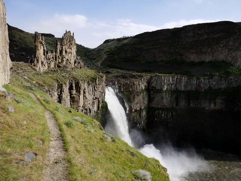
Palouse Falls State Park lies down a dusty road, just a short hop away from the Palouse Scenic Byway. It is a hidden oasis, concealed among arid scablands. The park’s defining feature is Palouse Falls—a roaring waterfall that tumbles down a cliff face into a bowl of churning water below. Though the park technically lies off the Palouse Scenic Byway, it is one of the top things to see in Washington State. Skipping it would be a shame.
Palouse Falls is among the most spectacular cascades in Washington. The waterfall formed as a result of the Missoula Floods at the end of the last Ice Age. The Missoula Floods significantly altered the landscape of Eastern Washington—carving out scab-like features over the desolate surrounding plateau.
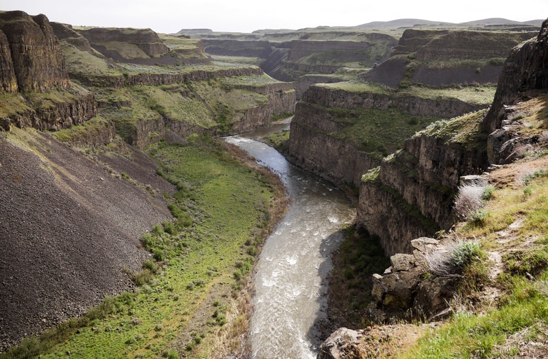
Palouse Falls State Park offers a few different views of the scenic cascade and canyon. The main viewpoint provides a direct view. It lies at the end of a short path, adjacent to the parking lot. It is wheelchair accessible and well-marked with interpretive signposts.
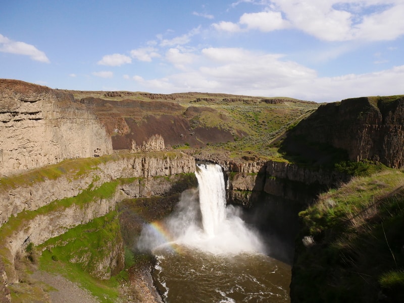
Beyond the main viewpoint, a few short trails explore the area around the waterfall.
Dan and I followed an unmarked trail to the left of the main viewpoint. The trail brought us to the water’s edge, above the lip of Palouse Falls. From there, we walked along another narrow path for up-close views of the waterfall and its pinnacle crown.
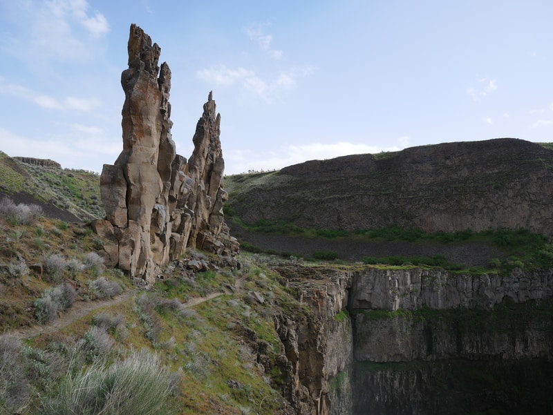
From the top of the waterfall, another narrow path continues around the inner rim of the gorge. The trail is unmarked and potentially hazardous. Though I’m sure it provides beautiful views, the trail requires an abundance of caution.
When I began walking the path, I found myself immobilized by fear. There are no handrails, and the path only lies about a foot away from the edge of the cliff at some points.
I turned around. Considering the stunning views I was able to enjoy from the top of the waterfall, I found no need to continue along the path in trepidation.
So I simply took a seat near the edge of the upper rock wall, looked out over the surrounding canyon, and relished the power of the waterfall in all its glory.
***
The farmlands of the Palouse may not be what most tourists seek out when they make the trip to Washington State, but they are a worthwhile area to visit nonetheless.
In recent years, Dan and I have taken to exploring these undiscovered gems of the Pacific Northwest. We’ve ridden bicycles along the Wenatchee Valley, discovered the barren lava lands of Central Oregon, and camped out in the desolate reaches of the Alvord Desert.
These off the beaten path trips have solidified our love for the Pacific Northwest. They have given us greater appreciation for the area’s tremendous natural diversity.
And they are a reminder that, while the western side of the Cascade Mountains will always have our hearts, the eastern side of the region isn’t half bad, either.
_________________________
Did You Enjoy this Guide to the Palouse Scenic Byway in Washington State? Pin It!
